
Research
NETRA draws on over 12 years of research experience in Universities/Research Institutes in Europe, including 5+ years in the UK, and 5 years in Denmark.
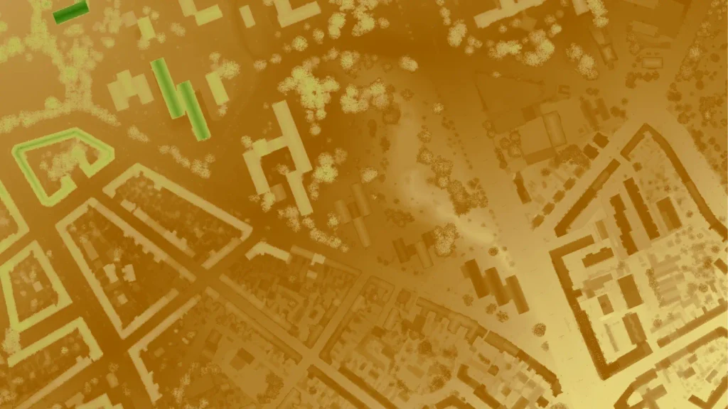
Information extraction from LiDAR data, in signal, point and raster representations, using Machine Learning, was the focus of initial research projects, with study sites in forests, grasslands, and urban and coastal areas.
Experience with thermal (satellite) and optical (satellite and aerial) imagery in conjunction with airborne LiDAR data and building footprints, to understand the influence of urban green infrastructure on land surface temperature.
Data source: dataforsyningen.dk